
Coastlines & Borders
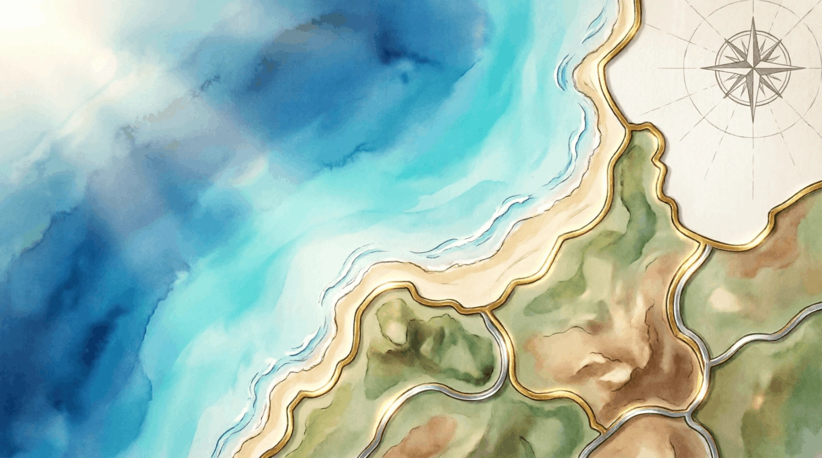
Coastlines and borders shape the geography of every country, influencing trade, culture, travel, and international relations. From rugged coastlines to carefully defined land boundaries, these features help explain how nations connect with both their neighbors and the wider world.
Start learning Coastlines & Borders
Pick a path - everything here is ready for this topic.
Countries by Continent
Search and scan key facts for this topic.
Showing of
Named quizzes
Jump into a focused set for Coastlines & Borders.
About Coastlines & Borders
Coastlines and borders shape the geography of every country, influencing trade, culture, travel, and international relations. From rugged coastlines to carefully defined land boundaries, these features help explain how nations connect with both their neighbors and the wider world.
Read full about Coastlines & Borders →This topic is part of Geography. Explore the guide, then practice with flashcards and quizzes to lock in what you learn.
🌍 Did you know?
Coastlines & Borders includes 112 curated questions across Geography.
🌍 Geography
Interactive World Map
Click regions to discover capitals, borders, and facts.
Region detail
matching questions
Click a marker on the map to explore a region.
Quick Facts
- Questions
- 113
- Difficulty
- Mixed
- Category
- Geography
4. Study Guide
1 guide for Coastlines & Borders
Flashcards
Which continent has the longest coastline?
1 / 30
Practice Quiz
Test your knowledge with multiple choice questions.
Practice Tests
Take a practice test and improve your score.
View all practice modes →